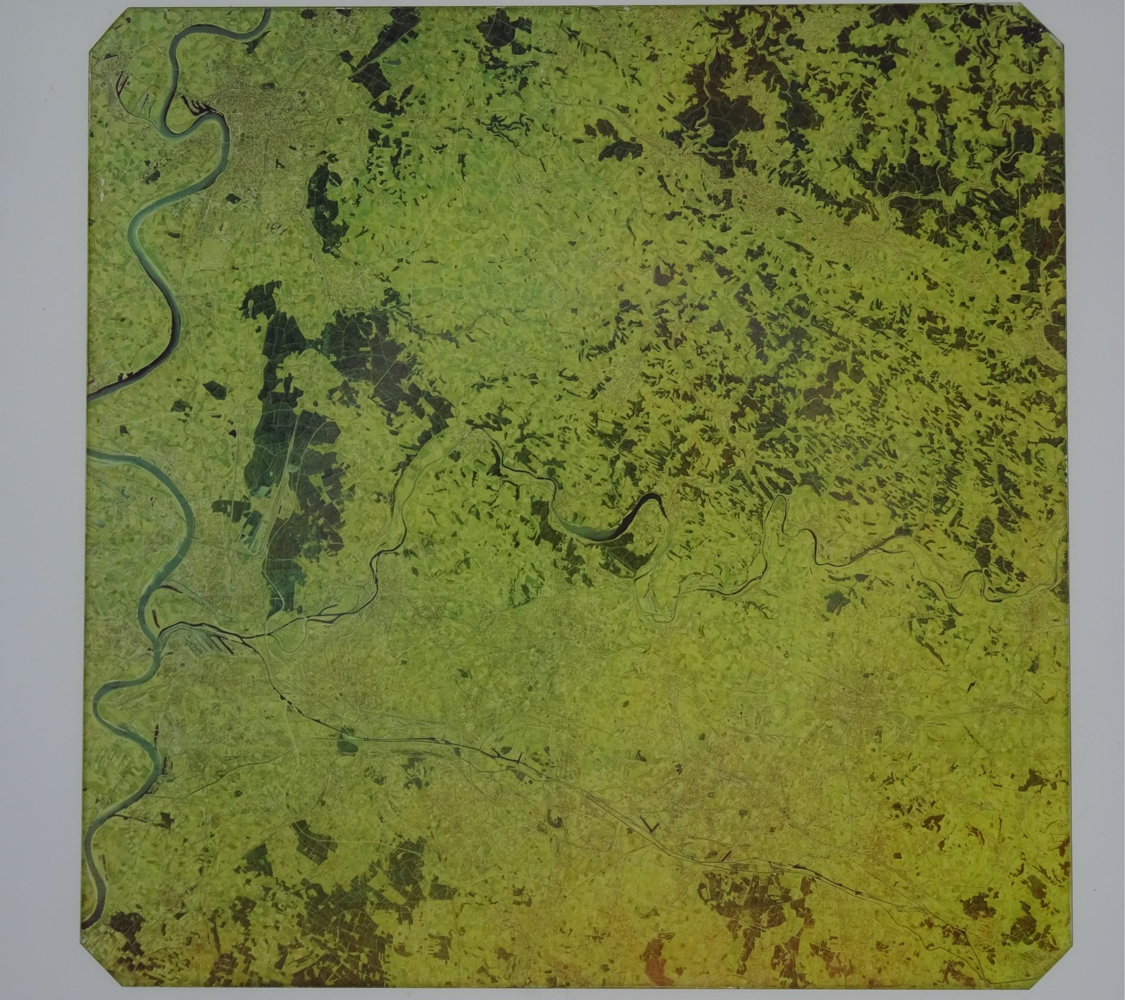
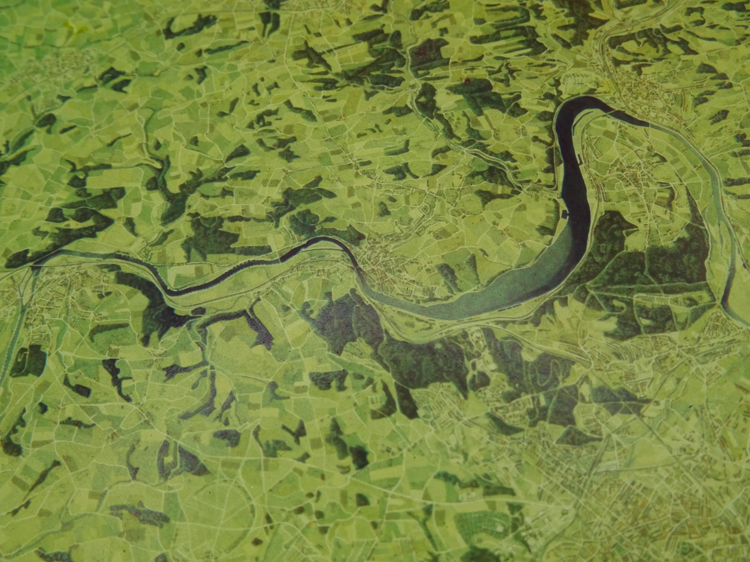
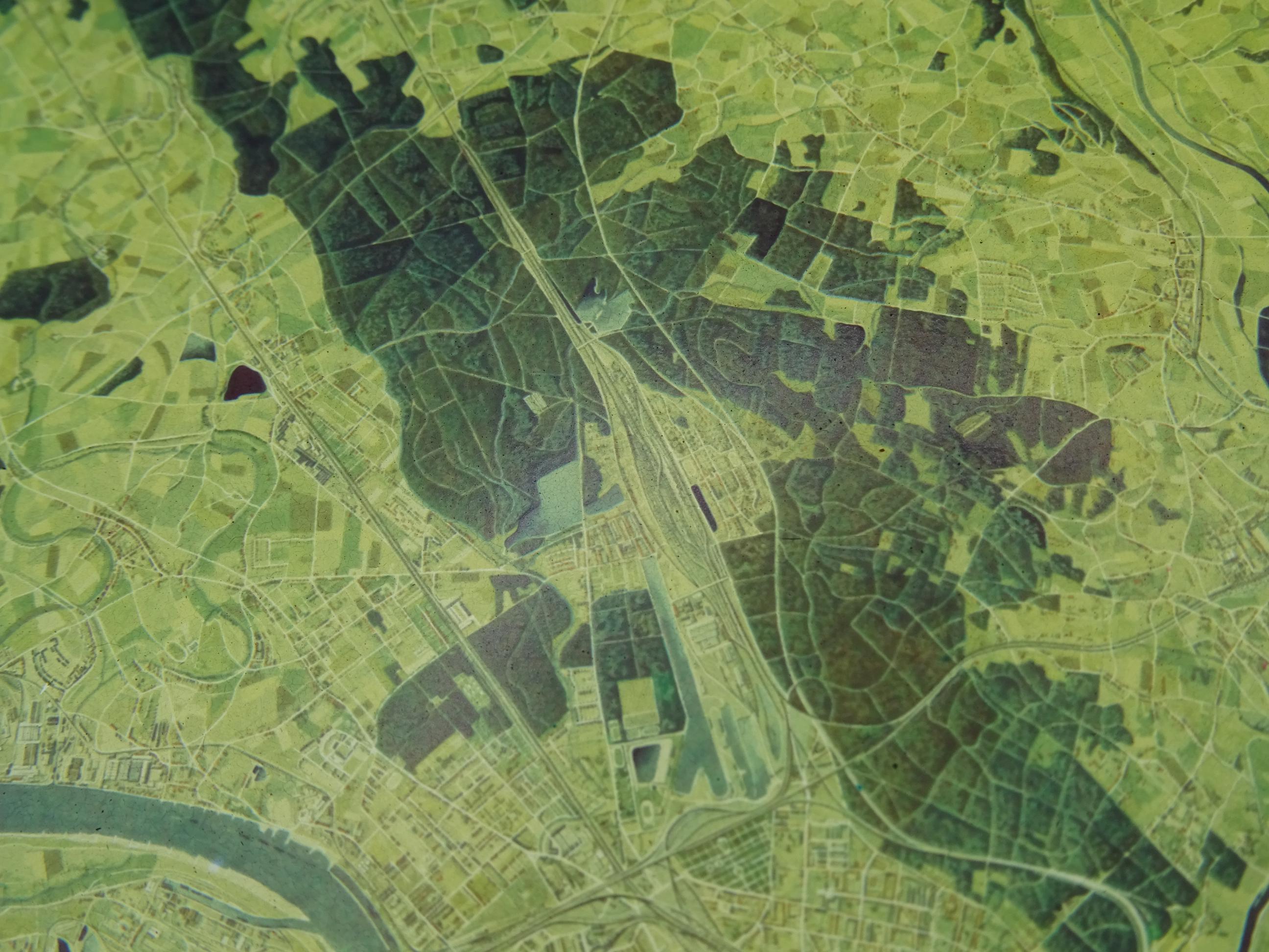
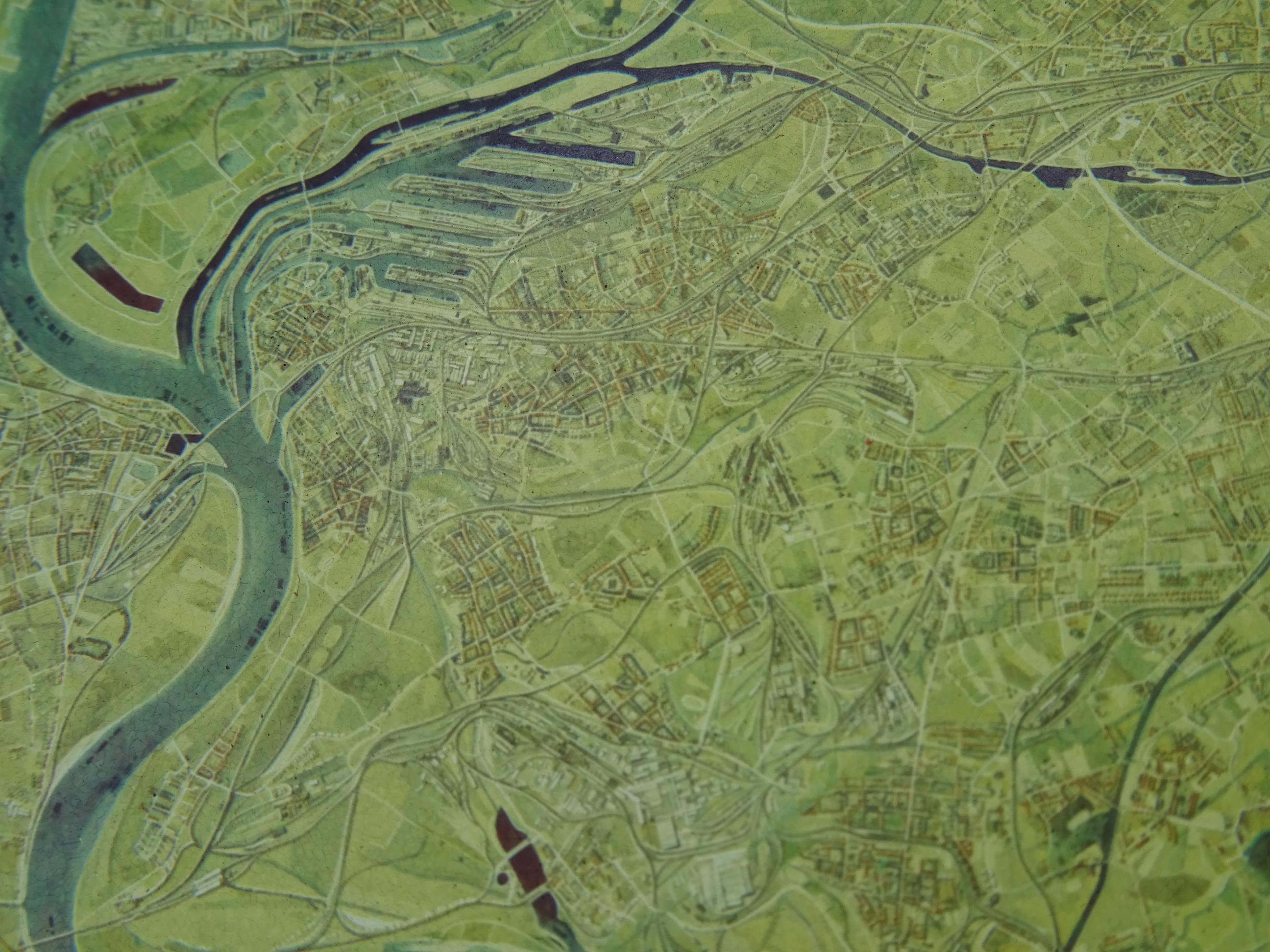
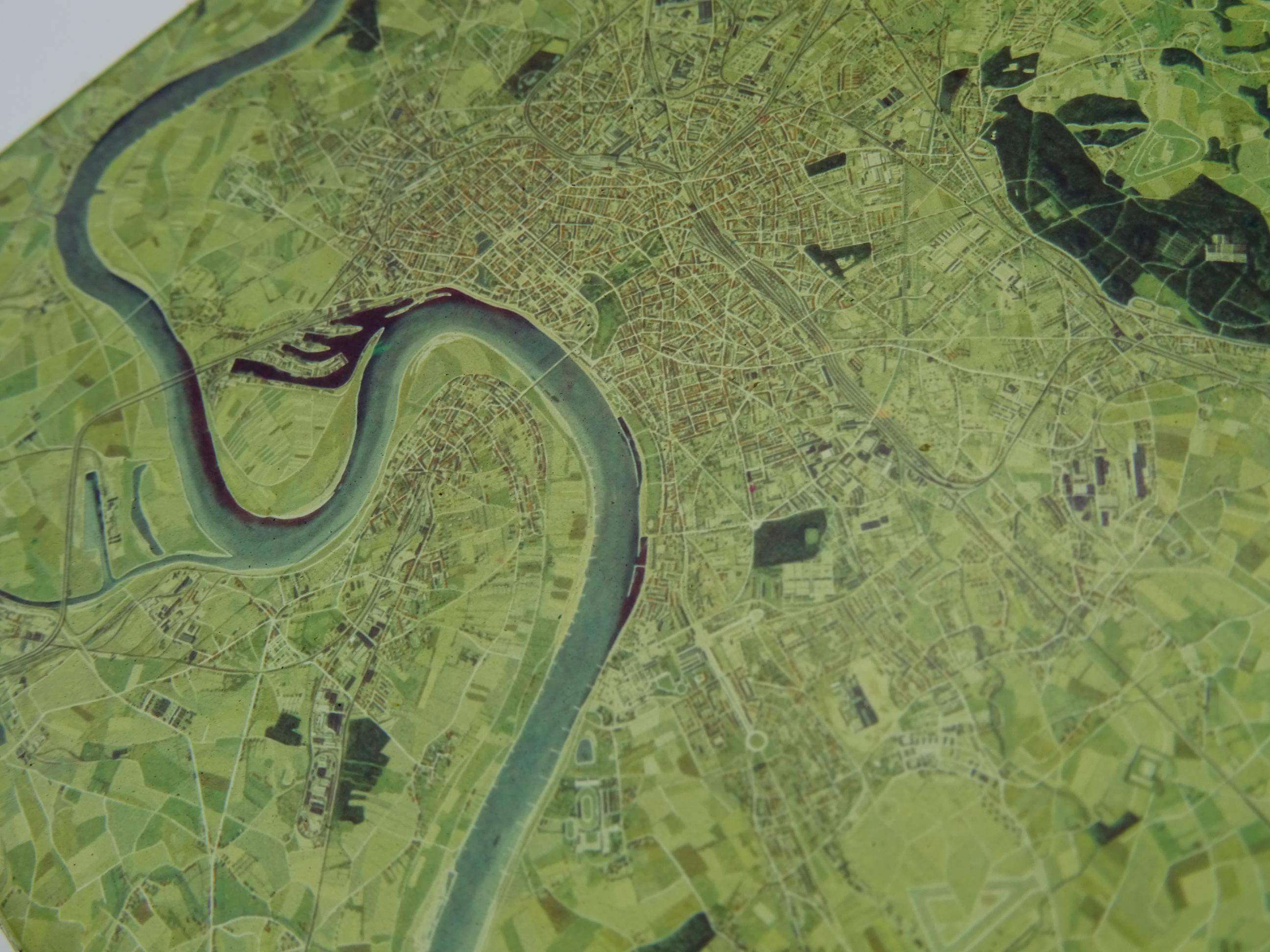


The WWII Air Ministry bombing simulator projected an image of a bombing targets printed on a glass plate onto the floor, scrolling along to represent the flight of the simulated aeroplane at 8000 or 9000 ft. R.A.F. bomb aimer would peer down at the image through a bomb sight, and send course corrections to the pilot, who would alters the flight path in response. An electro-mechanical linkage then moves the glass plate accordingly.
When the airman has calculated the direction and force of the wind and has sighted on the target, he flicks a switch which represents the bomb release. A device times an interval, equal to the time taken by the bomb to reach the ground, and at the end of this period the movement of the landscape is stopped. Painted on the floor is a fixed trail point which marks where a correctly aimed bomb should drop.
Many former wartime airfields still have their distinctive two-story bombing teacher buildings for this purpose.